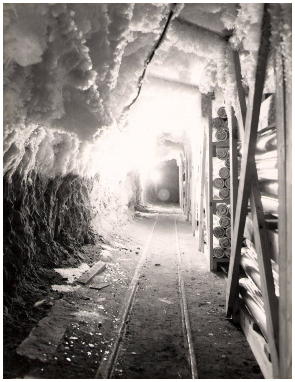
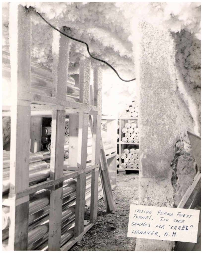
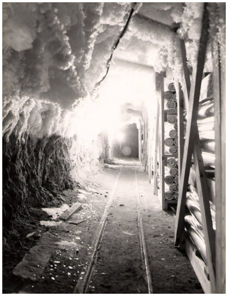
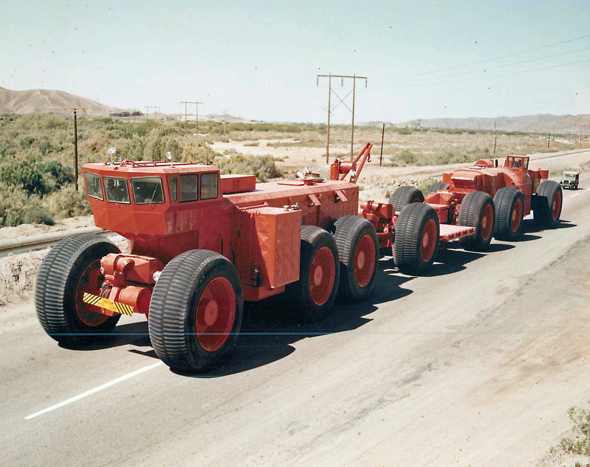
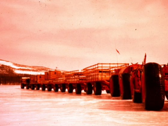
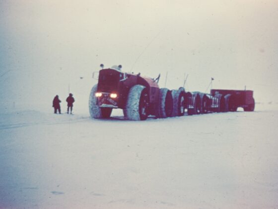
In 1966, after 3 years of drilling, Cold Regions Research and Engineering Laboratories (CRREL) reached 4,550 feet deep in the Greeland ice cap. Data revealed within these ice caps helped shape information about climate change. The images below are some of the CRREL ice cores. These images were captured by SGT. Bill Simmons during the summer of 1967. He drove heavy swings from Camp Tuto to Thule.
CRREL Greenland Ice Cores
